The landscape character of Nottinghamshire
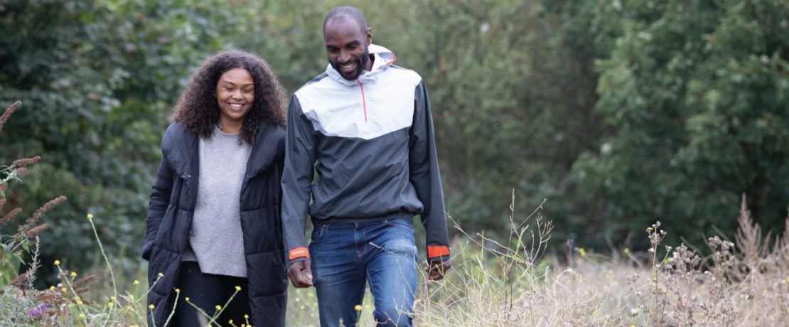
There is a wealth of distinctive landscapes in Nottinghamshire offering a diversity of experience to people who want to visit and enjoy our countryside, read on to find out more.
Perhaps our county is best known in the wider world for Robin Hood and Sherwood Forest. Once an area of woodland and heathland stretching over 30 miles from Nottingham to Worksop, Sherwood Forest was established as a royal hunting preserve in the 10th Century. The sandy heath and thickets of Sherwood provided ideal cover for deer and hunting with falcons.
The link to royalty continued as parts of the forest were acquired by nobility and four main ducal estates developed – Clumber, Welbeck, Thoresby and Worksop. This unique area, known as The Dukeries is full of heritage attractions. Over time, Sherwood Forest has become fragmented as settlements developed and the rich wood resources found here were used for building materials. You can now find a cluster of main country parks that offer an insight into how this mighty forest may have once appeared.
However, as well as Sherwood, there is a wealth of distinctive landscapes in Nottinghamshire offering a diversity of experience to people who want to visit and enjoy our countryside. The county may be divided into eleven landscape character areas. Of these areas, only three are either wholly or almost wholly within Nottinghamshire. The landscape areas are:
Derbyshire and Nottinghamshire Coalfields
A densely settled, heavily industrialised region characterised by closely spaced former mining settlements, former pit heaps and small pastoral farms.
Idle lowland
A varied low-lying region characterised by sparsely settled carrlands, levels and rolling sand lands with village settlements
East Nottinghamshire sandlands
A remote low-lying agricultural region characterised by a well-ordered layout of fields and roads, small red brick villages, a varied pattern of woodland cover and pockets of remnant heath vegetation.
Sherwood
A well-wooded, and in places industrialised region characterised by semi-natural woodlands and heaths, historic country estates, large pine plantations, former mining settlements and a planned layout of roads and fields.
Mid-Nottinghamshire farmlands
A rural agricultural region characterised by small nucleated red brick villages, narrow country lanes, ancient woodlands, wooded “dumble” streams and a variable pattern of fields.
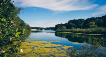
Trent washlands
A flat low-lying agricultural landscape characterised by nucleated village settlements and a traditional pattern of hedged fields (breaking down and becoming open in many areas) and with broad flat river terraces. The farms are predominantly arable with permanent pasture around settlements and roads. Other features are sand and gravel quarries.
Leicestershire and Nottinghamshire wolds
A sparsely settled and remote rural region characterised by rolling clay wolds, mixed farming, small red brick villages and narrow country lanes
Vale of Belvoir
A low-lying clay vale with a tradition of dairying characterised by large, hedged fields, small rural villages, and wide views to rising ground.
South Nottinghamshire farmlands
A prosperous lowland agricultural region with a simple rural character of large arable fields, village settlements and broad alluvial levels.
Magnesian Limestone Ridge – narrow band extending NW from Nottingham to Ripon in Yorkshire
A gently rolling, in places urbanised, agricultural landscape with a regular pattern of large fields and distinctive stone villages